
August 2026 News
What’s on the other side of the Mountain?
Imagine this, that Jackson Hole is still part of Big Wonderful Wyoming – that realization is medicinal. A real Wyoming still beckons us to be part of the Old West…just head East over the mountains to see her and feel the stress decompression in that big beautiful, wild country. What’s on the other side of the mountains – over the Wind River Mountains at South Pass or the Absaroka/Gros Ventre Mountains at Togwotee Pass?
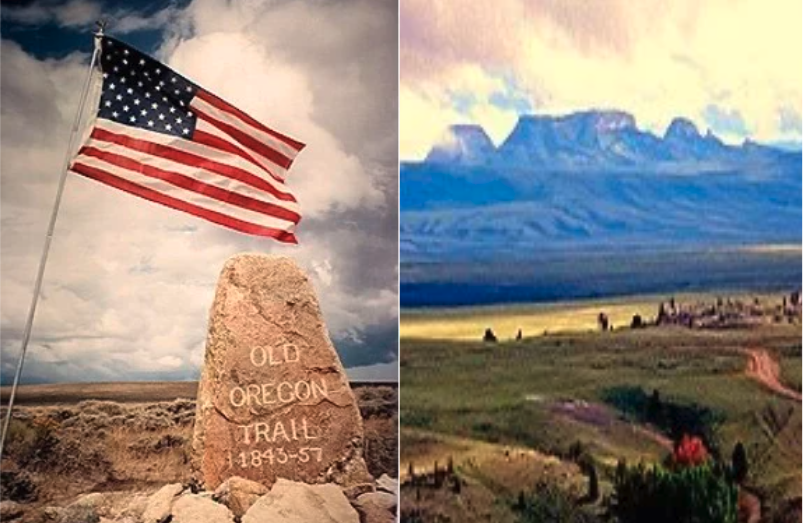
Oregon Buttes – a wilderness study area on the Oregon Trail near South Pass City, Wyoming.
South Pass is about 75 miles SE of Pinedale and 35 miles SW of Lander. Though it approaches a mile and a half high, South Pass is the lowest point on the Continental Divide and the historic natural crossing point of the Rockies. Circa 1843 – 1890, South Pass became the route for 100s of thousands of emigrants in wagon trains on the Oregon, California, and Mormon trails to the West. It was designated as a U.S. National Historic Landmark in 1961.

The view of the Teton Range, looking west from Togwotee Pass
Togwotee Pass (pronounced TOH-guh-tee) is a very high mountain pass in the western United States, at an elevation of 9,655. On the Continental Divide in the Absaroka Range of NW Wyoming in Teton County, it is between Dubois and Moran Junction in the Jackson Hole valley. The pass is named for Togwotee, a subchief under Chief Washakie of the Sheepeater tribe, a branch of the Eastern Shoshone.
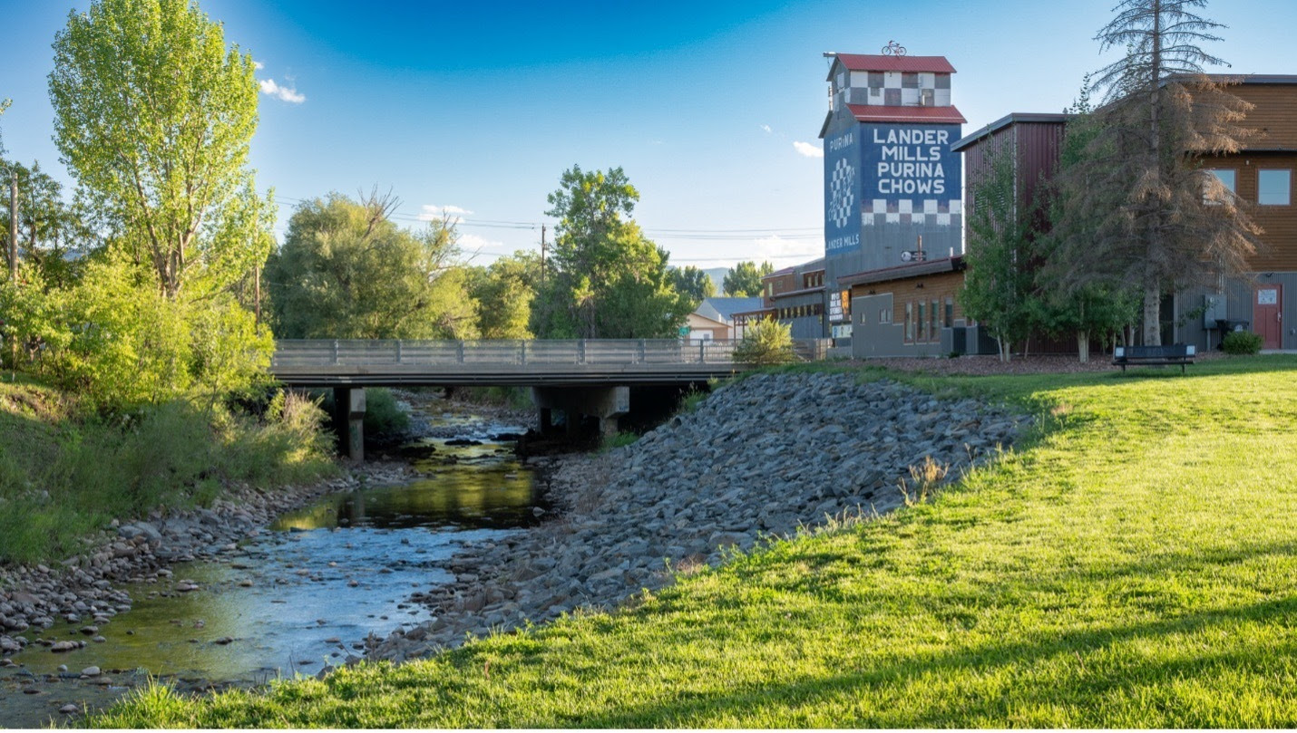
Photo credit- Jared Kail, Lander, WY
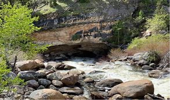
Lander – 2 hours from Jackson Hole, is still a ranching community, bolstered by recreation/tourism, the center piece being NOLS headquarters, the National Outdoor Leadership School. In 1924, a Jackson area kid, Pual Petzoldt then 16, made his first ascent of the Grand Teton. Along with Glenn Exum, he founded what is now Exum Mountain Guides, the oldest Alpine guiding service in the U.S. He pioneered the Exum Ridge route to summit The Grand; From 1963 to 1965, he was the chief instructor for Outward Bound Colorado prior to establishing NOLS. In January 2026 a Wyoming PBS documentary “A Life Outside: American Mountain Guides” premiered at Alpin Film festival in Jackson, WY. It highlights the legacy of Petzoldt. Just East of Lander is one of nature’s conundrums at Sinks Canyon State Park. The park is situated in the Wind River Mountains on the middle fork of the Popo Agie River. The site is named after distinct geologic phenomena, in which the Popo Agie River disappears into a limestone cavern and reappears a quarter mile down canyon in a placid pool filled with 8 – 12 lb. rainbow trout.
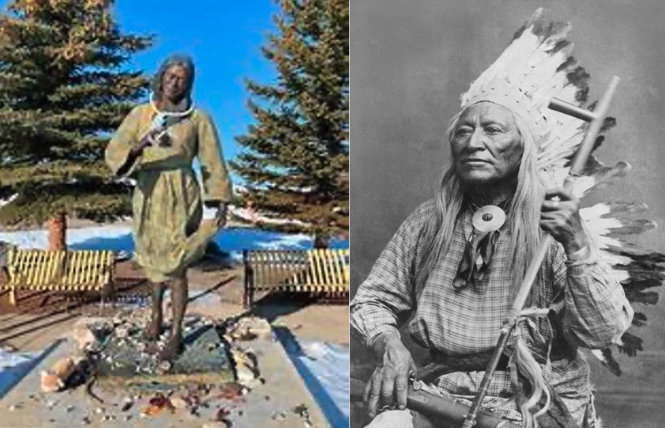
Fort Washakie – is at the western edge of the Wind River Reservation. The Wind River Reservation is comprised of the Eastern Shoshone and Northern Arapahoe Tribes. Shoshone Chief Washakie was much revered in pioneer Wyoming days. In 1900, Washakie was buried with full military honors, including a funeral procession of horse drawn wagons that stretched for miles. Nearby, is the grave of Sacajawea, the famous young Indian woman, who lead lost and starving Lewis & Clark across the mountains to the Pacific Ocean in 1805/06 (aka Sakakawea, Sacagawea). Most agree that she died in 1812, at Fort Manuel in present-day South Dakota. Many believe that her remains were later moved to Fort Washakie. Where, as a member of the Eastern Shoshone Tribe she was reburied in 1933. Her 6’ statute is located in the Sacajawea Cemetery at Fort Washakie.
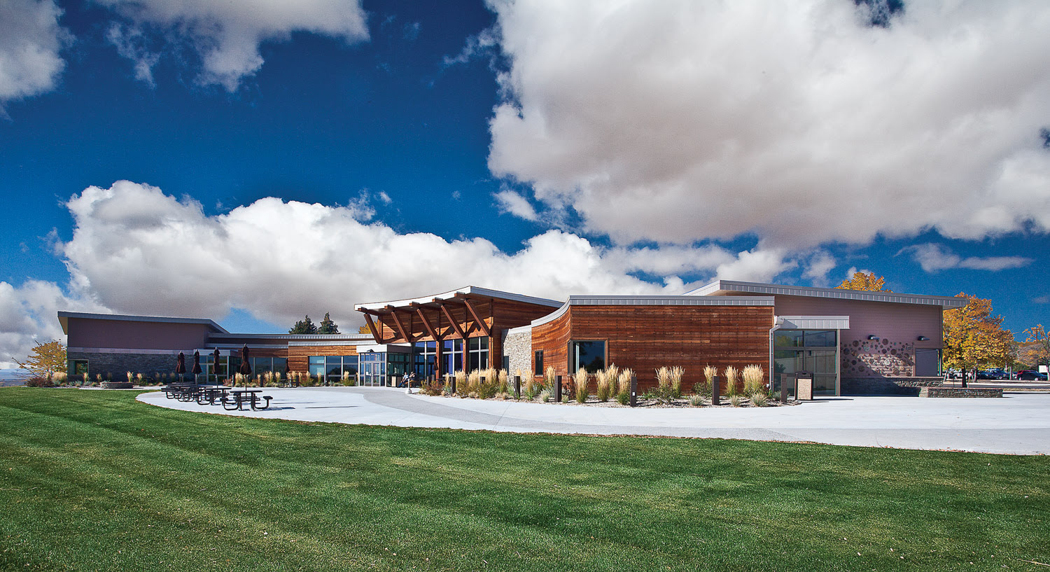
Central Wyoming College Campus, Riverton, WY
Riverton – is a medium sized Wyoming town with big box stores, but also smaller friendly old town proprietors. The wild beauty of the area is born out by being the location of the 1838 Mountain Man Rendezvous, at the confluence of the forks of the Popo Agie Rivers, the forks of Pine Creek and the forks of the Wind Rivers. All of these vicinity rivers lend to the name of the town of rivers, Riverton. The Wind River Heritage Center is located near the Rendezvous Camp. The Central Wyoming College main campus is the vibrant heart of the town.

Dubois – is about 65 miles West of Riverton, through the extraordinary beauty of the Wind River Canyon. It is a western ranching and outfitting community that includes must see attractions: the new National Museum of Military Vehicles and the National Big Horn Sheep interpretive center. The ancient, mystical Torrey Lake Petroglyph sites are believed to be the work of the long gone Sheepeater Indians. The Dubois Museum has an exceptional exhibit about the Sheepeater Indians and offers guided tours of the site.
Featured Properties on the other side of the mountain

Wind River Ranch (338 Gas Hills Road)
805 acres & hunting/fishing camp on the Wind River
Riverton, WY
